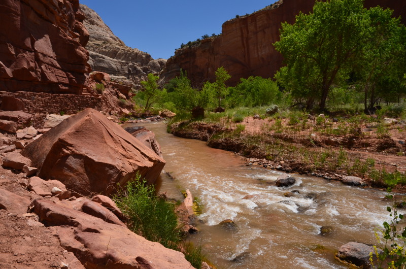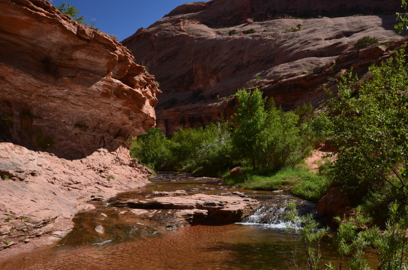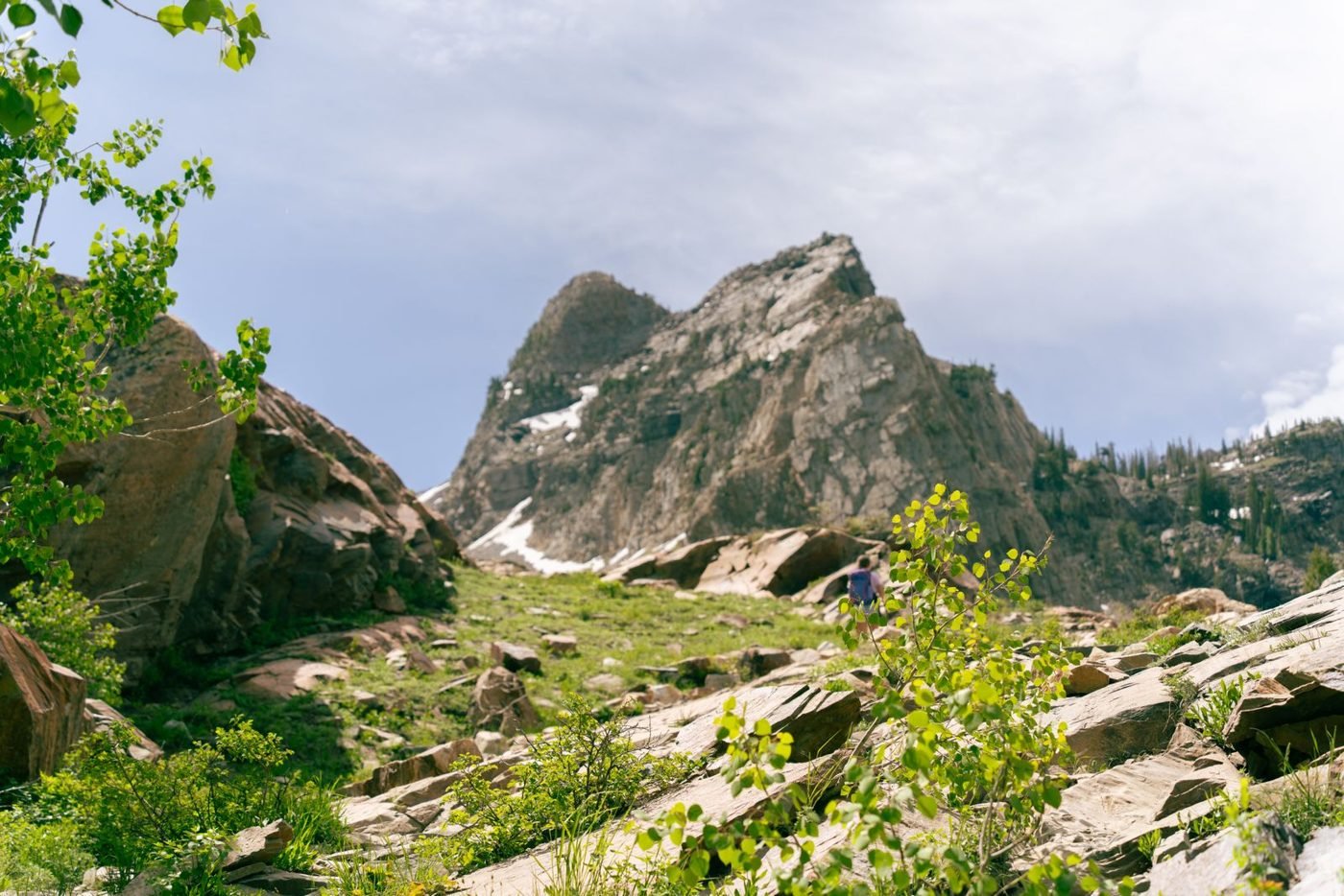
The alarm goes off at four. Boots are by the door, the water bottle still has a plug of ice in it because I forgot to empty it last time, and the plan is simple: be on the trail in Little Cottonwood before the first light hits the ridge. Then I open my phone and the plan falls apart. Not because of the trail. Because of the road, the lot at the end of it, and the question of how I get back down after a long day with dead legs.
This is the part nobody photographs. People post the sunrise from the saddle. They don’t post the slow circle through a full parking lot in the dark, or the UDOT sign at the canyon mouth that says the road is closed for control work. I’ve hiked out of both Cottonwood canyons for years, in every season, and honestly the logistics have gotten harder, not easier. Below is what actually works, what doesn’t, and how far each spot is if you’re flying in and building the trip from the terminal. If that’s you, the choice starts even earlier than the trailhead: rental counter, or a private transfer from the Salt Lake City airport straight to the canyon with your pack already in the back.
Your own car is not the advantage it looks like
On paper a rental is freedom. In practice, four things push back.
Parking first. The pullouts along Big Cottonwood and the lots at Alta and Snowbird fill early, and on a weekend they fill before the sun clears the ridge. Once they’re full, they’re full. The canyon roads are narrow, there is no real shoulder, and parking on the edge is a fast way to come back to a ticket or to no car at all.
Then the traction law. When it snows, UDOT puts the canyons under a traction requirement: proper snow tires or chains, or you don’t go up. Rental sedans on all-seasons get turned around at the bottom, and that is the end of your day. Nobody at the rental counter brings this up.
Third, Little Cottonwood closes for avalanche control. The road shuts, crews do their work with explosives, and if you’re already up at Alta or Snowbird you may be under interlodge, which means you stay inside the building until they say otherwise.
And then the drive back down. After a full day at altitude, with your legs gone and the light going, the canyon road is switchbacks, ice in the shady corners, and a line of other tired drivers.
Three ways up, honestly compared
Driving yourself
Works fine in summer on a weekday if you leave before dawn. The rest of the year it’s a gamble on all four points above. If you do drive: chains in the trunk, a full tank, and a backup pullout lower in the canyon in case the first one is packed.
Bus and ski shuttles
UTA runs ski buses into both Cottonwood canyons in winter, and some resorts and lodges run their own shuttles from the valley. It’s cheap and you skip the parking problem entirely. The catch is that all of it is built around skiers, not hikers. The schedule follows the ski season and the lifts, the stops are at the resorts rather than the pullouts you actually want, and the last bus down leaves when it leaves. Check the current timetable the week you travel, because it changes every season, and in summer the coverage thins out a lot.
A private driver
This is the option I ignored for years because it sounded like something for conference guests, not people with mud on their gaiters. Then a friend booked a chauffeur who runs the canyons all winter for a group of five, and the math changed. Utah Chauffeurs is a small outfit out of Lehi with winter SUVs on proper tires, so the traction law is their problem, not yours. They drop you at the pullout you name, you hike, and they collect you at the bottom or wherever you come out. The price is fixed when you book, so nobody is doing math at the end. The honest downsides: it costs more than the bus, per head it only makes sense with three or four of you, and you’re on a pickup you agreed in advance.
Miles from the airport
If you’re building the trip around a flight, these are road miles from Salt Lake City International, not straight-line guesses. I ran them through a routing engine rather than eyeballing a map.
- Downtown Salt Lake City: 8 miles
- Big Cottonwood Canyon: 29 miles
- Snowbird: 33 miles
- Alta and the top of Little Cottonwood Canyon: 34 miles
- Solitude: 35 miles
- Brighton: 37 miles
- Park City Mountain: 38 miles
What the numbers tell you: the canyons are close enough to do straight off a morning landing, and downtown is not really on the way. The gap between Big Cottonwood and Brighton is the length of the canyon road itself, and that road, not the valley miles, is where the day gets slow.
Things I wish someone had told me
No dogs. Both Cottonwood canyons are Salt Lake City’s drinking water, and dogs are not allowed, leashed or not, in the car or out of it. The fines are real. If you’re traveling with one, Millcreek next door or the Park City side is where you go instead.
Water. You can’t drink from the creeks untreated, and in winter they’re under snow anyway. Carry more than feels reasonable, and keep the bottle inside your jacket when it’s below freezing or you’ll be chewing ice at the first rest stop.
Leave before you want to. Whatever feels early, go earlier. Bus, car or driver, I ask for the drop-off before dawn and I have never once regretted it standing at an empty pullout.
Winter gear, even in the shoulder season. Spikes and poles from October through May. Avalanche terrain starts right off the road in Little Cottonwood. If slope angle means nothing to you, stay on the packed trails and read the forecast the morning of, not the night before.
What to tell the driver. Give the exact pullout, not the trail name, because the names on the map and the names locals use don’t always match. Give a pickup point and a fallback lower in the canyon in case of closure. Say where you’ll text from and what to do if you don’t. A good canyon driver asks these questions before you do, which is one way to tell you’ve booked the right one.
Then close the phone, put on the headlamp, and go. The road is the hard part. The trail is why you came.
Frequently asked questions
Can I take the ski bus in summer to get to a trailhead?
UTA’s canyon service is built around the ski season, and summer coverage changes from one year to the next. Check the current schedule the week you travel.
The traction law is on and my rental has all-season tires. What now?
You get stopped at the canyon mouth and turned around. Your options are chains from a valley hardware store, practiced in a dry lot before you’re kneeling in slush, the ski bus, or a vehicle that already meets the requirement.
I got to the trailhead and the lot is full. Where do I put the car?
Not on the shoulder, that’s a tow. Drop to the next pullout lower in the canyon and add the road walk to your day. This is the whole reason I started getting dropped off: if nobody has to park, a full lot is somebody else’s problem.
What does interlodge actually mean if I'm just there to hike?
The road is closed for avalanche control and you’re required to stay inside whatever building you’re in, usually at Alta or Snowbird. It lifts when the control work is done, and nobody can tell you when that will be. Bring a book.
I land at SLC in the morning. Can I hike the same day?
Yes. The Cottonwood canyons are 29 to 35 miles of road from the terminal. The limit isn’t distance, it’s the jump in altitude if you came from sea level. Pick something short and low in the canyon for day one and keep the high routes for after a night’s sleep.